Ruhstorf an der Rott
Googlemaps
Fotos aus dem Umkreis von Ruhstorf
Alle Ortsteile von Ruhstorf
- Eglsee
- Eholfing
- Frimhöring
- Hader
- Hötzling
- Hütting
- Kleeberg
- Pillham
- Rottau
- Rotthof
- Ruhstorf
- Schmidham
- Sulzbach am Inn
- Wehrhäuser
Alle Postleitzahlgebiete von Ruhstorf
| Fakten zur Gemeinde Ruhstorf a.d.Rott, M | |
|---|---|
| Gemeindeschlüssel | 09275145 |
| Regionalschlüssel | 092750145145 |
| Gemeindetyp | Marktgemeinde |
| Verwaltung | Gemeinde Ruhstorf a. d. Rott Postfach 1155 94099 Ruhstorf a.d.Rott |
| Bevölkerungsdichte | 138 Ew. je km² |
| Fläche | 51,46 km² |
| Einwohner | 7080 |
| davon weiblich | 3552 |
| davon männlich | 3528 |
| GPS Latitude | 48.436382 |
| GPS Longitude | 13.334335 |
| Vorwahl | 08503, 08506, 08507, 08531, 08534 |
| Telefonnetz | Neuhaus a Inn, Bad Höhenstadt, Neuburg a Inn, Pocking, Tettenweis |
| Land | Bayern |
| Regierungsbezirk | Reg.-Bez. Niederbayern |
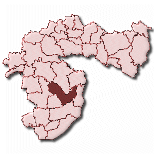
| Landkreis | Passau |
| Gemeinde | Ruhstorf a.d.Rott, M |
| Aktive Googlemaps-Karte von Ruhstorf | |
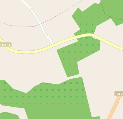
| Aktive Openstreetmap-Karte von Ruhstorf | |
| Arbeitsmarktdaten von Ruhstorf a.d.Rott, M | |
|---|---|
| Sozialversicherungspflichtige | |
| nach Wohnort | 2417 |
| nach Arbeitsort | 3385 |
| Einpendler | 2533 |
| Auspendler | 1565 |
| Geringfügig Beschäftigte (400€ Basis) | |
| nach Wohnort | 589 |
| nur GeB (Wohnort) | 388 |
| GeB als Nebenjob (Wohnort) | 201 |
| nach Arbeitsort | 383 |
| nur GeB (Arbeitsort) | 248 |
| GeB als Nebenjob (Arbeitsort) | 135 |
| Arbeitslose | ca. 6.42% |
| Gesamt | 220 |
| davon ALG I | 120 |
| davon HARTZ 4 (ALG II) | 100 |
| Frauenquote | 39.09% |
| Männerquote | 60.91% |
| Ausländerquote | 5.45% |
| © Arbeitsagentur u.a. | |
| Steuersätze von Ruhstorf a.d.Rott, M | |||
|---|---|---|---|
| Ort | Grundsteuer A | Grundsteuer B | Gewerbesteuerhebesatz |
| Ruhstorf a.d. Rott | 310 | 310 | 350 |
Gemeinde-Übersichtskarte(n)
Ruhstorf a.d. Rott