
Marienthal
Marienthal wird klassifiziert als:
Googlekarten
Quelle: OpenStreetMap
| In der Nähe von ,,Marienthal´´ | |
|---|---|
| Bahnhofsanlage | Rech, Dernau, Walporzheim |
| Berg / Hügel | Kraus-Berg, Trotzen-Berg, Kur-Berg, Steinthals Kopf |
| Besonderer Geländepunkt | Kuxberg |
| Straße | Ahr-Rotweinstraße |
| Wald, Forst | Ringener Wald, Ahrweiler Wald |
| Wasserlauf | Wings-Bach |
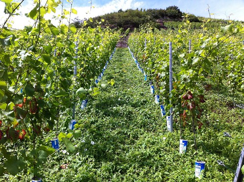
Fotos aus der Nähe Marienthal

 (von rbrands)

Strassen in der Nähe von ``Marienthal´´
Geografische Punkte und Wege aus OpenStreetmap in der Nähe von ``Marienthal´´
- Ahrtalbahn
- Klosterstraße
- Rotweinwanderweg
- Ahrtalbahn
- Am Mühlenbüsch
- Rotweinwanderweg
- Ahrtalbahn
- Klosterstraße
- Kloster Marienthal
- Marienthaler Straße
- Rotweinwanderweg
- Ahrtalbahn
- Strategischer Bahndamm
- Marienthal
- Weinhaus Kriechel
- Weinhaus Hansen
- Marienthal
- Marienthal
- Marienthal
- Marienthal
- Marienthal
- Landgasthaus Klosterquelle
- Marienthal
- Kloster Mariental


