
Petrikirche
Petrikirche wird klassifiziert als:
- Anbetungsort (Kirche, Synagoge, Moschee, …)
- Universelle Bezeichnung für Gebäude.
Googlekarten
Quelle: OpenStreetMap
| In der Nähe von ,,Petrikirche´´ | |
|---|---|
| Bahnhofsanlage | Dortmund Bbf, Dortmund West, Dortmund-Westerholz, Dortmund-Obereving, Dortmund Möllerbrücke, Dortmund Signal Iduna Park, Dortmund Süd, Dortmund Hbf, Güterbahnhof Dortmund-Süd, Dortmund Dortmunderfeld, Dortmund-Eving, Dortmund Stadthaus |
| Bergbaubetrieb | Zeche Tremonia |
| Farm / Landwirtschaft | Hangufer |
| Gebäude | Petrikirche, Synagoge und Gemeindezentrum Prinz-Friedrich-Karl-Straße Dortmund, Sankt Reinoldi, Klinikum Dortmund, Sankt-Johannes-Hospital Dortmund |
| Industrie- und Gewerbefläche | Dortmund |
| Kanal (Schifffahrt) | Dortmund-Ems-Kanal, Kanalhafen |
| Stadion | Stadion Rote Erde, Signal Iduna Park |
| Turm | Florianturm |
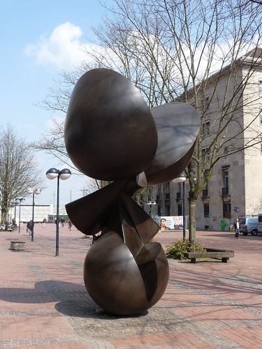
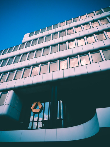
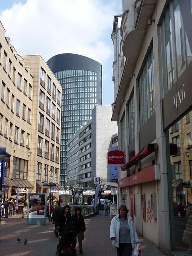
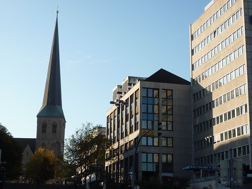
Fotos aus der Nähe Petrikirche
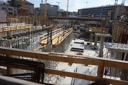
 (von jarikir)


Strassen in der Nähe von ``Petrikirche´´
- Westenhellweg (0.04km)
- Kampstraße (0.06km)
- Potgasse (0.1km)
- Katharinenstraße (0.13km)
- Petergasse (0.14km)
- Kolpingstr. (0.16km)
- Propsteihof (0.16km)
- Silberstraße (0.17km)
- Königswall (0.17km)
- Weddepoth (0.17km)
- Mönchenwordt (0.18km)
- Schwarze-Brüder-Straße (0.18km)
- Martinstraße (0.19km)
- Lühringhof (0.19km)
- Freistuhl (0.19km)
- Wallstraße (0.21km)
- Schmiedingstraße (0.21km)
- Eisenmarkt (0.24km)
- Grafenhof (0.24km)
- Museumsgasse (0.24km)
- Hansastraße (0.27km)
- Hövelstraße (0.28km)
- Hansaplatz (0.31km)
- Hoher Wall (0.31km)
- Kuhstraße (0.31km)
- Bissenkamp (0.35km)
- Am Trissel (0.35km)
- Lütge Brückstraße (0.37km)
- Bahnhofstraße (0.37km)
- Wißstraße (0.38km)
- Frankenstraße (0.39km)
- Gnadenort (0.39km)
- Prinzenstraße (0.41km)
- Hiltropwall (0.47km)
- Paul-Winzen-Straße (0.49km)
- Poststraße (0.49km)
- Johannesstraße (0.51km)
- Burgtor (0.51km)
- Königshof (0.53km)
- Quadbeckstraße (0.53km)
Geografische Punkte und Wege aus OpenStreetmap in der Nähe von ``Petrikirche´´
- Königswall
- Westentor
- Hoher Wall
- Kampstraße
- Grafenhof
- Grafenhof
- Johannesstraße
- Weddepoth
- Martinstraße
- U43; U44
- Westenhellweg
- Paul-Winzen-Straße
- Thier-Verwaltung
- Katharinenstraße
- Potgasse
- Katharinenstraße
- Petrikirchhof
- Katharinenstraße
- Petrikirchhof
- Petrikirche
- Poststraße
- Petrikirchhof
- Sparkasse Dortmund
- Hövelstraße
- Schauspielhaus
- Hiltropwall
- Stadt- und Landesbibliothek, Zentralbibliothek
- Kolpingstraße
- Kuhstraße
- Eisenmarkt
- Opernhaus
- Kolpingstraße
- Kampstraße
- Königswall
- RWE-Tower
- Hohe Straße
- Schwarze-Brüder-Straße
- Propsteihof
- Museum für Kunst und Kulturgeschichte
- Mönchenwordt
- Kampstraße
- Hansastraße
- Schwarze-Brüder-Straße
- Königshof
- Hansastraße
- Hansastraße
- Silberstraße
- Hansastraße
- Burgtor
- Lütge Brückstraße
- Pfefferkorn
- Postbank Dortmund
- Kir Royal
- Apotheke Hoher Wall
- Postbank
- Taj Mahal
- Cityhotel Dortmund
- Greenwheels Station
- Martinstraße/Thier-Gelände
- Martinstraße/Thier-Gelände
- Dortmund Hbf
- Dortmund Hbf
- Dortmund Hbf
- Conrad
- Norisbank
- Dortmund Hbf S / ZOB
- Hövels Hausbrauerei
- Dortmund Hbf S / ZOB
- metropolradruhr
- Dortmund Hbf
- Dortmund Hbf
- Dortmund Hbf S / ZOB
- Dortmund Hbf
- Dortmund Hbf
- Dortmund Hbf S
- Dortmund Hbf
- Dortmund Hbf S
- Dortmund Hbf
- Dortmund Hbf
- Village
- Dortmund Hbf S
- Dortmund Hbf S
- Dortmund Hauptbahnhof Nord
- Dortmund Hauptbahnhof Nord
- Hauptbahnhof
- Kleimann
- Targobank
- Subway
- Postbank
- Dortmund Hauptbahnhof Nord
- Dortmund Hauptbahnhof Nord
- Dortmund Hauptbahnhof Nord
- Petri Blumen
- Star S Döner
- Dortmund Hauptbahnhof Nord
- Dortmund Hauptbahnhof
- Hauptbahnhof
- Trinkwasserbrunnen
- Dortmund Hbf
- Yangtse


